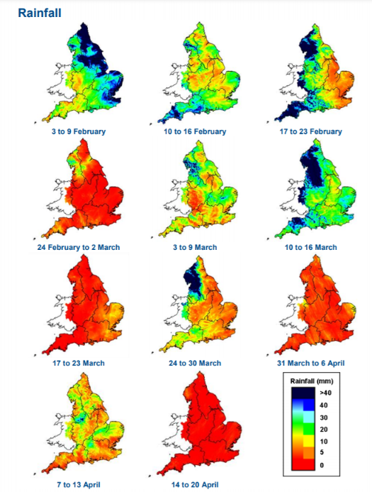
The Environment Agency publishes a weekly report on recent rainfall across England. Here’s an interesting graphic from the most recent edition:
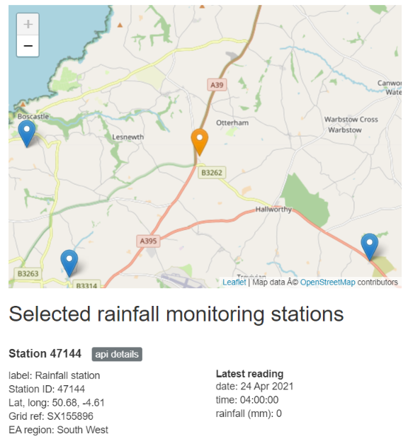
The EA also maintains a large number of automated rainfall monitoring stations across the country. As revealed by this map, the nearest one to Davidstow is up the hill near the A39 “Atlantic Highway”:
Here’s its rainfall record for the past four weeks:
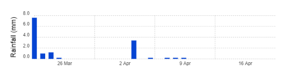
The last really rainy day is just about to disappear off the end of the chart.
After a really rainy winter this perhaps makes a very pleasant change? Don’t forget to water your gardens though!
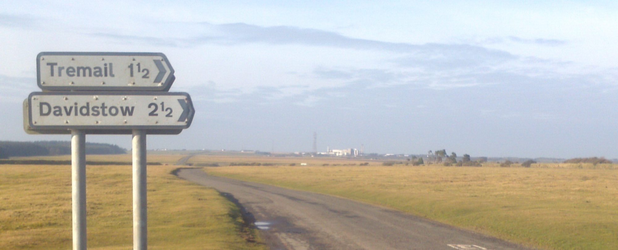
It’s April 28th and at long last it’s raining here in Davidstow!
Here’s the rain radar map from NetWeather.tv:
It is now May Bank Holiday Monday, and needless to say it is now both very wet and very windy in Davidstow!